


20190616E01

michelelfn
User
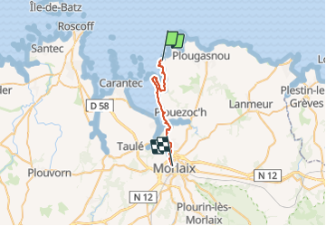

Length
21 km

Max alt
81 m

Uphill gradient
329 m
Km-Effort
26 km

Min alt
0 m

Downhill gradient
328 m
Boucle
No
Creation date :
2019-06-16 07:59:26.876
Updated on :
2019-06-16 14:19:25.935
6h18
Difficulty : Very easy

FREE GPS app for hiking
 SityTrail
IGN / Geographical institutes
SityTrail Plus
The world is yours!
About
Trail Walking of 21 km to be discovered at Brittany, Finistère, Plougasnou. This trail is proposed by michelelfn.
Positioning
Country:
France
Region :
Brittany
Department/Province :
Finistère
Municipality :
Plougasnou
Location:
Unknown
Start:(Dec)
Start:(UTM)
437414 ; 5393431 (30U) N.
Comments