


CC_Velay_BD_08_Espalion_Golinhac_20070823

patrickdanilo
User
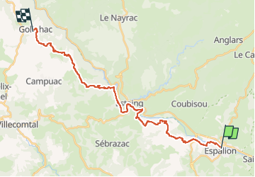

Length
28 km

Max alt
680 m

Uphill gradient
902 m
Km-Effort
39 km

Min alt
314 m

Downhill gradient
564 m
Boucle
No
Creation date :
2019-06-16 14:44:00.33
Updated on :
2022-08-12 13:05:05.819
7h30
Difficulty : Difficult

FREE GPS app for hiking
 SityTrail
IGN / Geographical institutes
SityTrail Plus
The world is yours!
About
Trail Walking of 28 km to be discovered at Occitania, Aveyron, Espalion. This trail is proposed by patrickdanilo.
Description
Randonnée Marche de 28 km à découvrir à Occitanie, Aveyron, Espalion. Cette randonnée est proposée par patrickdanilo.
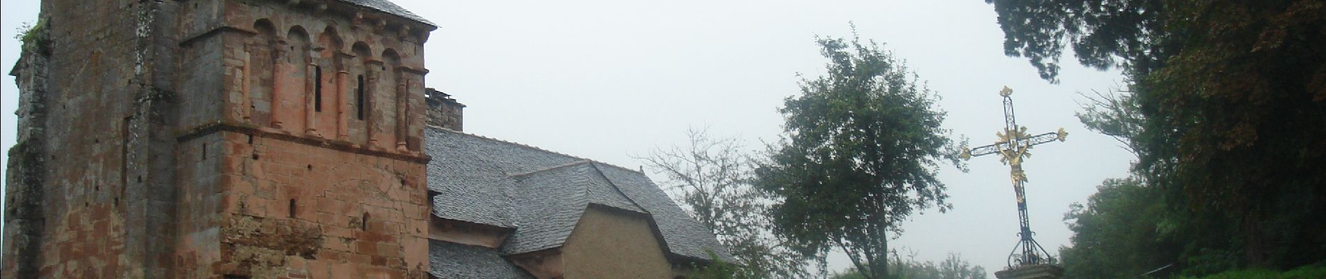
Photos


Positioning
Country:
France
Region :
Occitania
Department/Province :
Aveyron
Municipality :
Espalion
Location:
Unknown
Start:(Dec)
Start:(UTM)
481140 ; 4929928 (31T) N.
Comments