


CC_Velay_BE_09_Golinhac_Conques-Rouergue_20070824

patrickdanilo
User
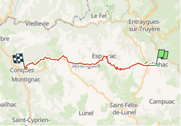

Length
20 km

Max alt
680 m

Uphill gradient
420 m
Km-Effort
27 km

Min alt
345 m

Downhill gradient
750 m
Boucle
No
Creation date :
2019-06-16 16:17:43.253
Updated on :
2022-08-13 09:31:00.33
5h35
Difficulty : Medium

FREE GPS app for hiking
 SityTrail
IGN / Geographical institutes
SityTrail Plus
The world is yours!
About
Trail Walking of 20 km to be discovered at Occitania, Aveyron, Golinhac. This trail is proposed by patrickdanilo.
Description
Randonnée Marche de 20 km à découvrir à Occitanie, Aveyron, Golinhac. Cette randonnée est proposée par patrickdanilo.
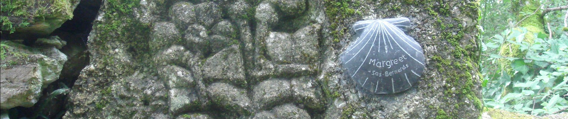
Photos


Positioning
Country:
France
Region :
Occitania
Department/Province :
Aveyron
Municipality :
Golinhac
Location:
Unknown
Start:(Dec)
Start:(UTM)
466771 ; 4939025 (31T) N.
Comments