


Geisweg - Elmerforst -Westhoffen

Claudele
User
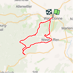

Length
27 km

Max alt
495 m

Uphill gradient
722 m
Km-Effort
37 km

Min alt
194 m

Downhill gradient
723 m
Boucle
Yes
Creation date :
2019-06-17 06:09:13.466
Updated on :
2019-06-17 17:23:47.89
8h39
Difficulty : Difficult

FREE GPS app for hiking
 SityTrail
IGN / Geographical institutes
SityTrail Plus
The world is yours!
About
Trail Walking of 27 km to be discovered at Grand Est, Bas-Rhin, Wasselonne. This trail is proposed by Claudele.
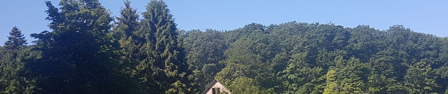
Photos


58 photos in total. Please click on a photo to see them all in the gallery.
Positioning
Country:
France
Region :
Grand Est
Department/Province :
Bas-Rhin
Municipality :
Wasselonne
Location:
Unknown
Start:(Dec)
Start:(UTM)
385594 ; 5388298 (32U) N.
Comments