


CC_Velay_DA_13_Cajarc_Bach_20080504

patrickdanilo
User
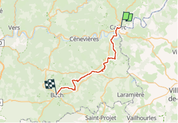

Length
32 km

Max alt
374 m

Uphill gradient
648 m
Km-Effort
40 km

Min alt
142 m

Downhill gradient
477 m
Boucle
No
Creation date :
2019-06-17 16:27:13.95
Updated on :
2022-09-16 10:21:59.666
7h20
Difficulty : Medium

FREE GPS app for hiking
 SityTrail
IGN / Geographical institutes
SityTrail Plus
The world is yours!
About
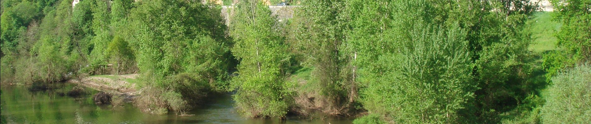
Trail Walking of 32 km to be discovered at Occitania, Lot, Cajarc. This trail is proposed by patrickdanilo.
Description
Randonnée Marche de 32 km à découvrir à Occitanie, Lot, Cajarc. Cette randonnée est proposée par patrickdanilo.
Photos


Positioning
Country:
France
Region :
Occitania
Department/Province :
Lot
Municipality :
Cajarc
Location:
Unknown
Start:(Dec)
Start:(UTM)
408564 ; 4926377 (31T) N.
Comments