


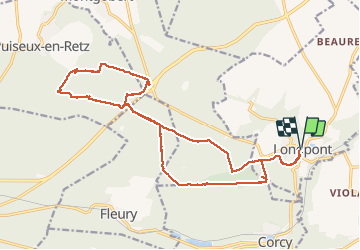


17.5 km | 21 km-effort

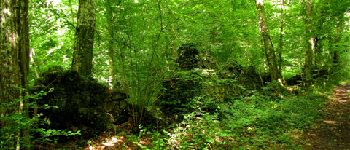
forêts de France


FREE GPS app for hiking
 SityTrail
IGN / Geographical institutes
SityTrail World
The world is yours!
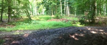
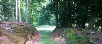
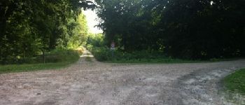
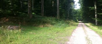
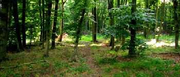
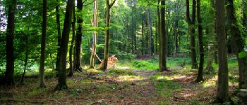
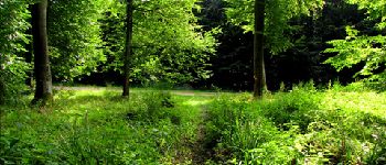
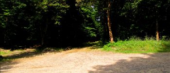
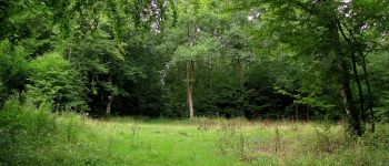
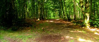
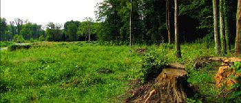
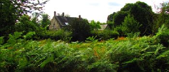
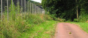
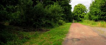
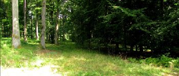
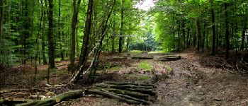
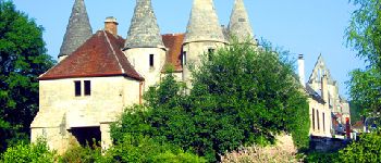
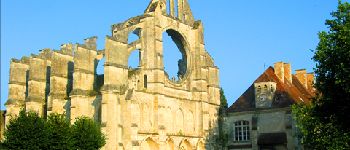
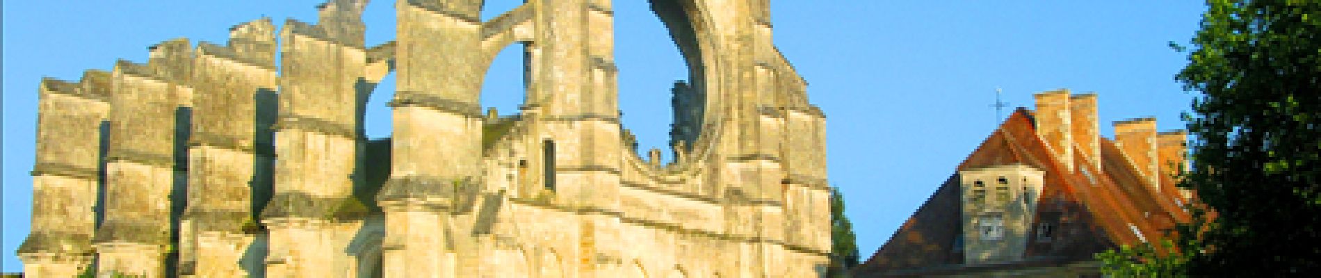
Trail Walking of 21 km to be discovered at Hauts-de-France, Aisne, Longpont. This trail is proposed by en forêt de Retz.
voir aussi:
http://foret-de-retz.over-blog.com/
08/2013
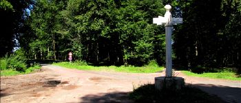
A partir de l'abbaye de Longpont,prendre le GR11A "aux trois maisons". Rejoindre le vieux chemin de Longpont et continuer jusqu'au carrefour Bosc. Prendre à droite la laie des Grands Charmes jusqu'au carrefour de la grosse pierre. Prendre la laie de la grosse pierre jusqu'au carrefour du hibou sur la route de Chavigny.
Au carrefour de Chavigny prendre la laie des monthieux. Suivre cette laie et traverser la N2 avec le pont pour animaux.
Rejoindre le carrefour des têtes de Salmon (GPS conseillé) puis le carrefour du lièvre. Prendre la laie du cabaret jusqu'au carrefour des six routes puis la laie de Puiseux jusqu'au champ "les quartiers". Prendre la laie située entre la laie de la fanfare et la laie de Marie-Stuart (GPS fortement conseillé et laie difficile) jusqu'à la laie du ravin. Suivre jusqu'au carrefour de la culée puis prendre à droite la laie des ventes Cagniard. Suivre jusqu'au carrefour de Christine. Prendre à droite la laie du mur du parc (passer derrière la maison forestière des champs Mentard et suivre jusqu'au carrefour avec l'intersection de la laie du champ Mentard. Prendre à gauche cette laie et rejoindre le pont déjà traverser à l'allée. Continuer dans la laie des Monthieux jusqu'au carrefour du chapeau des cordeliers. Prendre la laie de la Beauve jusqu'au carrefour des sangliers. Prendre à gauche la route du pendu jusqu'au carrefour de la croix bacquet. Suivre le vieux chemin de Longpont. Prendre la route du pendu jusqu'au carrefour du pendu puis la laie du vieux mur jusqu'au carrefour avec le GR11A. Prendre à droite le GR11A et rejoindre Longpont aux "trois maisons".


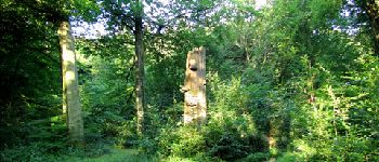
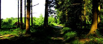
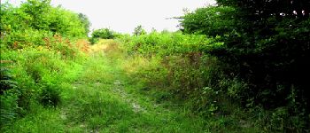
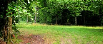
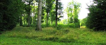
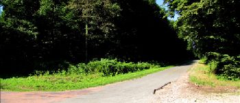
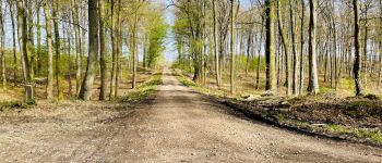
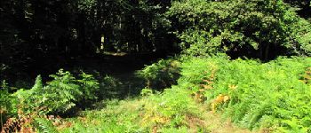
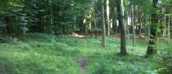
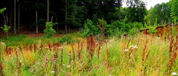
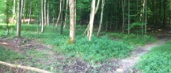
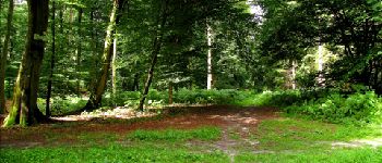
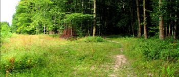
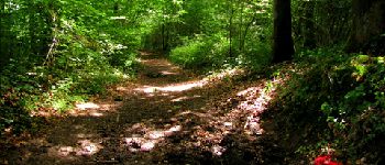
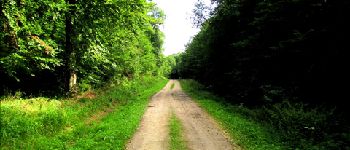
133 photos in total. Please click on a photo to see them all in the gallery.

Walking

Walking

Walking

On foot

On foot

Walking

Walking

Walking

Walking
villers vicomte