


CC_Velay_EC_19_St-Antoine_Lectoure_20080819

patrickdanilo
User
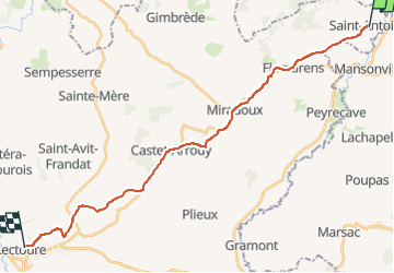

Length
25 km

Max alt
214 m

Uphill gradient
560 m
Km-Effort
32 km

Min alt
74 m

Downhill gradient
474 m
Boucle
No
Creation date :
2019-06-19 17:07:31.205
Updated on :
2022-09-17 14:07:08.799
6h53
Difficulty : Medium

FREE GPS app for hiking
 SityTrail
IGN / Geographical institutes
SityTrail Plus
The world is yours!
About
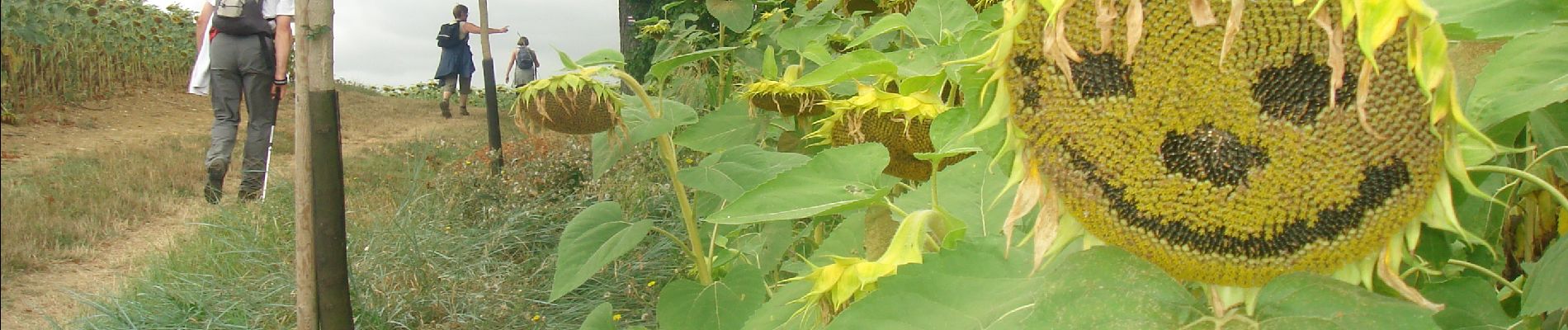
Trail Walking of 25 km to be discovered at Occitania, Gers, Saint-Antoine. This trail is proposed by patrickdanilo.
Description
Randonnée Marche de 25 km à découvrir à Occitanie, Gers, Saint-Antoine. Cette randonnée est proposée par patrickdanilo.
Photos


Positioning
Country:
France
Region :
Occitania
Department/Province :
Gers
Municipality :
Saint-Antoine
Location:
Unknown
Start:(Dec)
Start:(UTM)
327014 ; 4878229 (31T) N.
Comments