


CC_Velay_EG_23_Manciet_Lanne-Soubiran_20080823

patrickdanilo
User
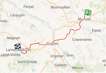

Length
18.1 km

Max alt
161 m

Uphill gradient
290 m
Km-Effort
22 km

Min alt
92 m

Downhill gradient
295 m
Boucle
No
Creation date :
2019-06-21 15:04:37.149
Updated on :
2022-09-18 16:50:05.132
4h15
Difficulty : Easy

FREE GPS app for hiking
 SityTrail
IGN / Geographical institutes
SityTrail Plus
The world is yours!
About
Trail Walking of 18.1 km to be discovered at Occitania, Gers, Manciet. This trail is proposed by patrickdanilo.
Description
Randonnée Marche de 18,1 km à découvrir à Occitanie, Gers, Manciet. Cette randonnée est proposée par patrickdanilo.
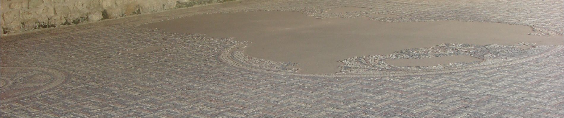
Photos


Positioning
Country:
France
Region :
Occitania
Department/Province :
Gers
Municipality :
Manciet
Location:
Unknown
Start:(Dec)
Start:(UTM)
262021 ; 4853935 (31T) N.
Comments