


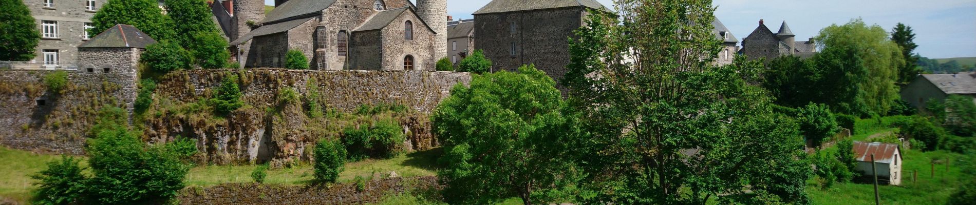
Allanche - Maillargues Puy de Mathonière - 12.8km 320m 4h00 - 2019 06 25

Orcal37
User GUIDE
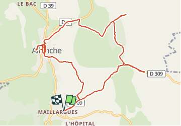

Length
12.8 km

Max alt
1215 m

Uphill gradient
319 m
Km-Effort
17 km

Min alt
971 m

Downhill gradient
318 m
Boucle
Yes
Creation date :
2019-06-25 11:29:36.869
Updated on :
2021-09-08 13:23:59.096
4h00
Difficulty : Easy

FREE GPS app for hiking
 SityTrail
IGN / Geographical institutes
SityTrail Plus
The world is yours!
About
Trail Walking of 12.8 km to be discovered at Auvergne-Rhône-Alpes, Cantal, Allanche. This trail is proposed by Orcal37.
Description
Allanche - de Maillargues au Puy de Mathonière - 12.8km 320m 4h00 - 2019 06 25
Photos


Positioning
Country:
France
Region :
Auvergne-Rhône-Alpes
Department/Province :
Cantal
Municipality :
Allanche
Location:
Unknown
Start:(Dec)
Start:(UTM)
495385 ; 5006744 (31T) N.
Comments