


forêt de l'aiguille

Mascart
User

Length
32 km

Max alt
655 m

Uphill gradient
1255 m
Km-Effort
47 km

Min alt
116 m

Downhill gradient
763 m
Boucle
No
Creation date :
2019-06-24 20:28:56.173
Updated on :
2019-06-26 06:06:23.679
3h18
Difficulty : Very easy

FREE GPS app for hiking
 SityTrail
IGN / Geographical institutes
SityTrail Plus
The world is yours!
About
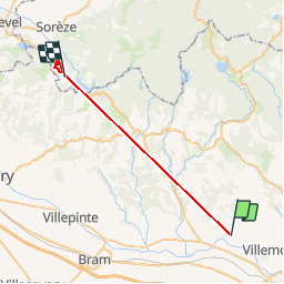
Trail Walking of 32 km to be discovered at Occitania, Aude, Ventenac-Cabardès. This trail is proposed by Mascart.
Positioning
Country:
France
Region :
Occitania
Department/Province :
Aude
Municipality :
Ventenac-Cabardès
Location:
Unknown
Start:(Dec)
Start:(UTM)
442007 ; 4790522 (31T) N.
Comments