


9.4 km | 9.9 km-effort


User

FREE GPS app for hiking
 SityTrail
IGN / Geographical institutes
SityTrail World
The world is yours!
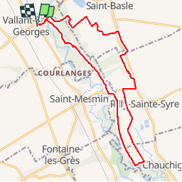
Trail Walking of 18.1 km to be discovered at Grand Est, Aube, Vallant-Saint-Georges. This trail is proposed by NANE51.
On peut se garer sur le parking derrière l’église de Vallant-Saint-Georges


Walking

Walking
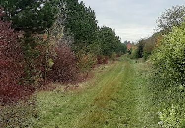
Walking

Walking
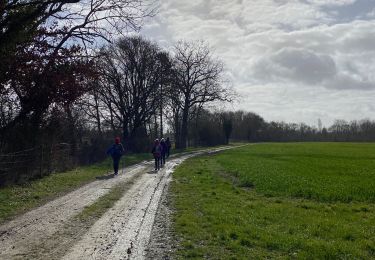
Walking


Walking

On foot