Trail Walking Chézery-Forens - GR 9 - Étape 10 - Menthière - Bellegarde sur Valserine - Photo

GR 9 - Étape 10 - Menthière - Bellegarde sur Valserine

 pcugnod
pcugnod

User

© OpenStreetMap contributors
Length
Length
17.8 km
Boucle
Boucle
No
Creation date :
2019-07-02 05:45:36.0
Updated on :
2019-07-02 13:45:38.562

(0 Reviews)

Walking
Walking
6h00
Difficulty : Difficult

Scan this QR Code to open this trail in the SityTrail application

FREE GPS app for hiking

Logo SityTrail SityTrail

IGN / Geographical institutes

Download SityTrail from the App Store Download SityTrail from Google Play

Logo SityTrail SityTrail World

The world is yours!

Download SityTrail from the App Store Download SityTrail from Google Play Download SityTrail on Huawei AppGallery

About

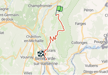
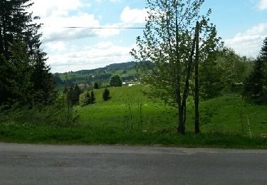
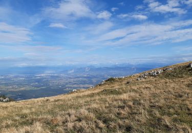
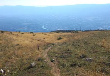
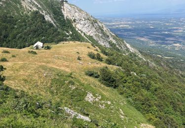
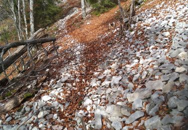
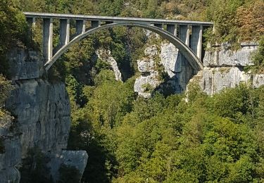
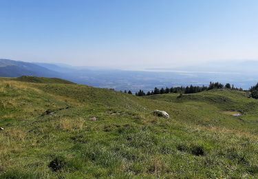
Trail Walking of 17.8 km to be discovered at Auvergne-Rhône-Alpes, Ain, Chézery-Forens. This trail is proposed by pcugnod.

Description

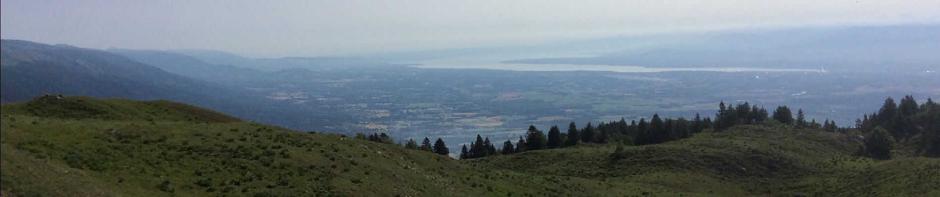
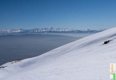
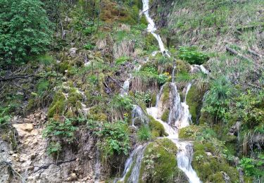
Le Grand Crêt d’Eau - 1200 m de descente - les pertes et les gorges de la Valserine

Elevation profile

Photos

Positioning

Country:
France
Region :
Auvergne-Rhône-Alpes
Department/Province :
Ain
Municipality :
Chézery-Forens
Location:
Unknown
Start:(UTM)
719880 ; 5118055 (31T) N.

Trails nearby

Trail Walking Confort - Le Crêt de la Goutte, Grand Crêt d'Eau - Photo
Walking
tracegps

Walking

Medium
(1)
Confort, Auvergne-Rhône-Alpes, Ain, France
9.3 km | 16.8 km-effort
4h 0min
Yes
Trail Walking Chézery-Forens - Chezery Crêt Chalam (IBP 95) 7 mai 2021 CAF - Photo
Walking
TRIMAILLE

Walking

Difficult
Chézery-Forens, Auvergne-Rhône-Alpes, Ain, France
17 km | 30 km-effort
5h 47min
Yes
Trail Walking Chézery-Forens - Chézery Chalam La Pesse - Photo
Walking
Praff

Walking

Difficult
Chézery-Forens, Auvergne-Rhône-Alpes, Ain, France
18.6 km | 33 km-effort
7h 2min
No
Trail Walking Chézery-Forens - Menthieres-Cret de la goutte - Photo
Walking
dusty3466

Walking

Very difficult
Chézery-Forens, Auvergne-Rhône-Alpes, Ain, France
11.8 km | 21 km-effort
5h 27min
Yes
Trail Walking Chézery-Forens - GTJ 10 Chėzery-Forens/ Vanchy - Photo
Walking
Praff

Walking

Very difficult
Chézery-Forens, Auvergne-Rhône-Alpes, Ain, France
26 km | 44 km-effort
9h 14min
No
Trail Walking Farges - Génial - Photo
Walking
eric.guyard21

Walking

Farges, Auvergne-Rhône-Alpes, Ain, France
18.9 km | 31 km-effort
6h 57min
No
Trail Walking Champfromier - Champfromier les avalanches  - Photo
Walking
Jackoyo

Walking

Medium
Champfromier, Auvergne-Rhône-Alpes, Ain, France
13.5 km | 22 km-effort
3h 26min
Yes
Trail Walking Confort - Confort pont des pierres - Photo
Walking
HB01

Walking

Easy
Confort, Auvergne-Rhône-Alpes, Ain, France
8.1 km | 11.4 km-effort
2h 4min
Yes
Trail Walking Chézery-Forens - Cret de la Goutte 13.5 km D+650 m 20210811 - Photo
Walking
cmike39

Walking

Very difficult
Chézery-Forens, Auvergne-Rhône-Alpes, Ain, France
13.6 km | 23 km-effort
7h 2min
Yes


Close
My subscriptions