


CC_Frances_CF_18_Calzada-Coto_Santas-Martas_20110710

patrickdanilo
User
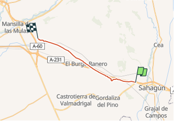

Length
26 km

Max alt
882 m

Uphill gradient
181 m
Km-Effort
28 km

Min alt
819 m

Downhill gradient
180 m
Boucle
No
Creation date :
2019-07-06 12:46:10.867
Updated on :
2022-02-09 11:12:02.379
6h10
Difficulty : Easy

FREE GPS app for hiking
 SityTrail
IGN / Geographical institutes
SityTrail Plus
The world is yours!
About
Trail Walking of 26 km to be discovered at Castile and León, Unknown, Calzada del Coto. This trail is proposed by patrickdanilo.
Description
Randonnée Marche de 26 km à découvrir à Calzada del Coto, León, Castilla y León. Cette randonnée est proposée par patrickdanilo.
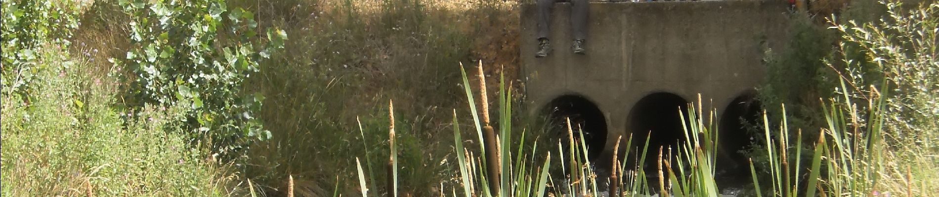
Photos


Positioning
Country:
Spain
Region :
Castile and León
Department/Province :
Unknown
Municipality :
Calzada del Coto
Location:
Unknown
Start:(Dec)
Start:(UTM)
328918 ; 4694380 (30T) N.
Comments