


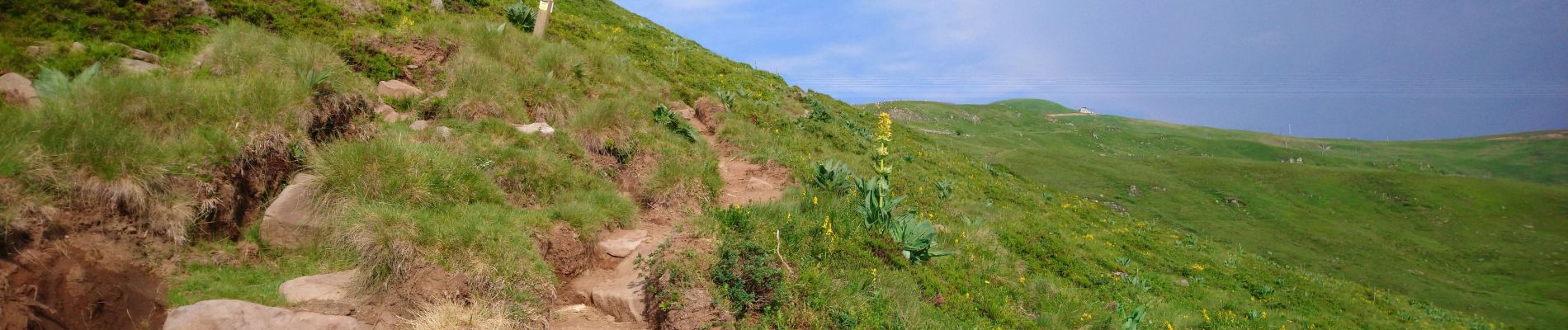
Cantal - Col de Prat de Bouc Le Plomb du Cantal - 8.2km 450m 2h45 - 2019 07 06

Orcal37
User GUIDE
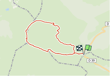

Length
8.2 km

Max alt
1839 m

Uphill gradient
450 m
Km-Effort
14.2 km

Min alt
1386 m

Downhill gradient
450 m
Boucle
Yes
Creation date :
2019-07-06 06:24:50.409
Updated on :
2021-09-11 12:28:32.637
2h45
Difficulty : Medium

FREE GPS app for hiking
 SityTrail
IGN / Geographical institutes
SityTrail Plus
The world is yours!
About
Trail Walking of 8.2 km to be discovered at Auvergne-Rhône-Alpes, Cantal, Albepierre-Bredons. This trail is proposed by Orcal37.
Description
Cantal - Col de Prat de Bouc - Le Plomb du Cantal - 8.2km 450m 2h45 - 2019 07 06
Photos


Positioning
Country:
France
Region :
Auvergne-Rhône-Alpes
Department/Province :
Cantal
Municipality :
Albepierre-Bredons
Location:
Unknown
Start:(Dec)
Start:(UTM)
483761 ; 4988819 (31T) N.
Comments
Bonne randonnée à faire en famille.