


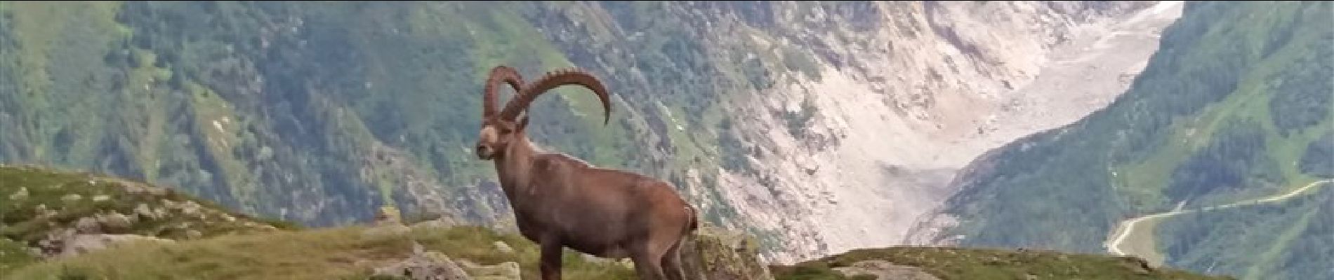
MASSIF DES AIGUILLES ROUGES: LE LAC BLANC DEPUIS LE COL DES MONTETS

djeepee74
User


5h15
Difficulty : Difficult

FREE GPS app for hiking
 SityTrail
IGN / Geographical institutes
SityTrail Plus
The world is yours!
About
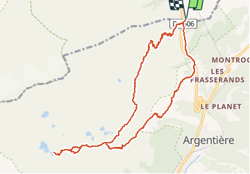
Trail Walking of 11.4 km to be discovered at Auvergne-Rhône-Alpes, Upper Savoy, Vallorcine. This trail is proposed by djeepee74.
Description
BOUCLE
Montée par les échelles sous l'aiguillette d'Argentière (sujet au vertige: s'abstenir)... Descente par le Grand Balcon Sud.
Restauration possible au refuge du Lac Blanc... attention pas de CB, pas de chèques !
Photos


Positioning
Comments