dammartin les templiers

eltonnermou
User
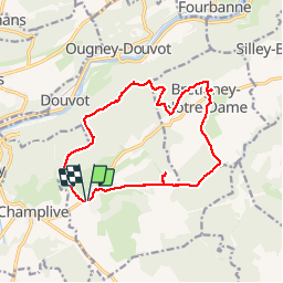


2h34
Difficulty : Easy

FREE GPS app for hiking
 SityTrail
IGN / Geographical institutes
SityTrail Plus
The world is yours!
About
Trail Walking of 14.4 km to be discovered at Bourgogne-Franche-Comté, Doubs, Dammartin-les-Templiers. This trail is proposed by eltonnermou.
Description
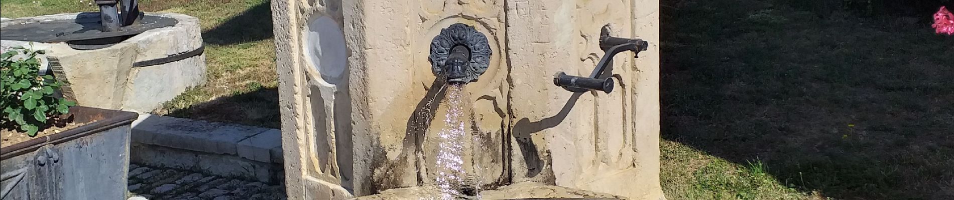
très, très peu de balisage. très belle randonnée avec des points de vue qui régalent les yeux. le début est calme, attention à ne pas louper le gouffre de Seu, approche sous surveillance pour les enfants ; une caractéristique naturelle, approche dangereuse. Dans Bretigney notre dame de belles fontaines. Le sentier sur la crête fleure avec des falaises faire attention. Prendre le temps d'aller au promontoire du rocher de la Louvière (pancarte forestière 13, 12, 41, descente raide sur votre droite). Plus loin le point de vue du Rechandet.
Photos


Positioning
Comments