


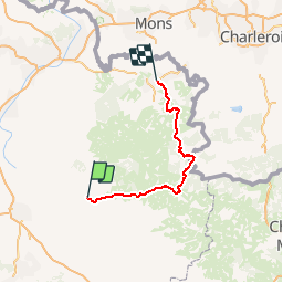


15.8 km | 18.5 km-effort


User


FREE GPS app for hiking
 SityTrail
IGN / Geographical institutes
SityTrail World
The world is yours!
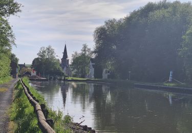
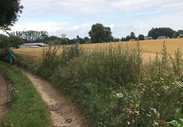
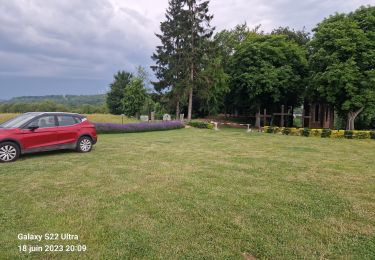
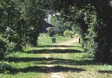
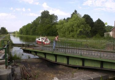
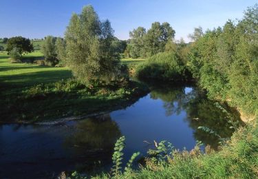
Trail Cycle of 100 km to be discovered at Hauts-de-France, Aisne, Guise. This trail is proposed by plevier.


Walking
Walking
Walking
Walking
Walking
Walking
Walking

Walking