


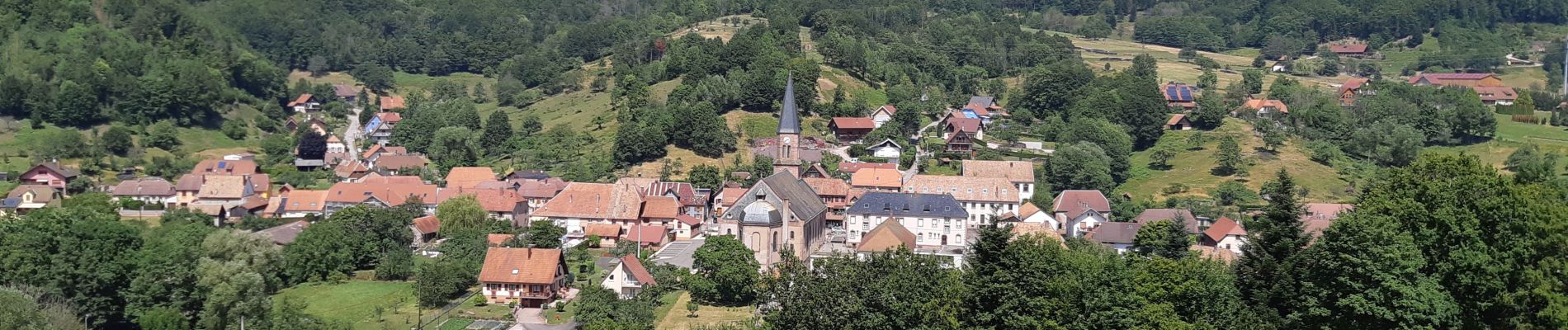
Steige - Au Blanc Noyer

VacheKiri67
User


2h36
Difficulty : Easy

FREE GPS app for hiking
 SityTrail
IGN / Geographical institutes
SityTrail Plus
The world is yours!
About
Trail Walking of 8.6 km to be discovered at Grand Est, Bas-Rhin, Steige. This trail is proposed by VacheKiri67.
Description
Faite le 16/07/2019. D'après "Passion Vosges - Escapade en Alsace Centrale" N°21 : Au Blanc Noyer. Durée indiquée pour le circuit : 3h00. Parcours sans grand intérêt si ce n'est la découverte de Steige et de sa distillerie réputée https://www.jos-nusbaumer.com/
Photos


Positioning
Comments