


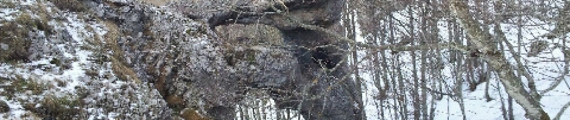
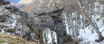
Echaillon

patbt
User
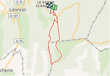

Length
6.7 km

Max alt
1441 m

Uphill gradient
271 m
Km-Effort
10.3 km

Min alt
1196 m

Downhill gradient
280 m
Boucle
No
Creation date :
2014-12-10 00:00:00.0
Updated on :
2014-12-10 00:00:00.0
2h34
Difficulty : Medium

FREE GPS app for hiking
 SityTrail
IGN / Geographical institutes
SityTrail Plus
The world is yours!
About
Trail Nordic walking of 6.7 km to be discovered at Auvergne-Rhône-Alpes, Drôme, Léoncel. This trail is proposed by patbt.
Photos


Positioning
Country:
France
Region :
Auvergne-Rhône-Alpes
Department/Province :
Drôme
Municipality :
Léoncel
Location:
Unknown
Start:(Dec)
Start:(UTM)
674508 ; 4975269 (31T) N.
Comments