


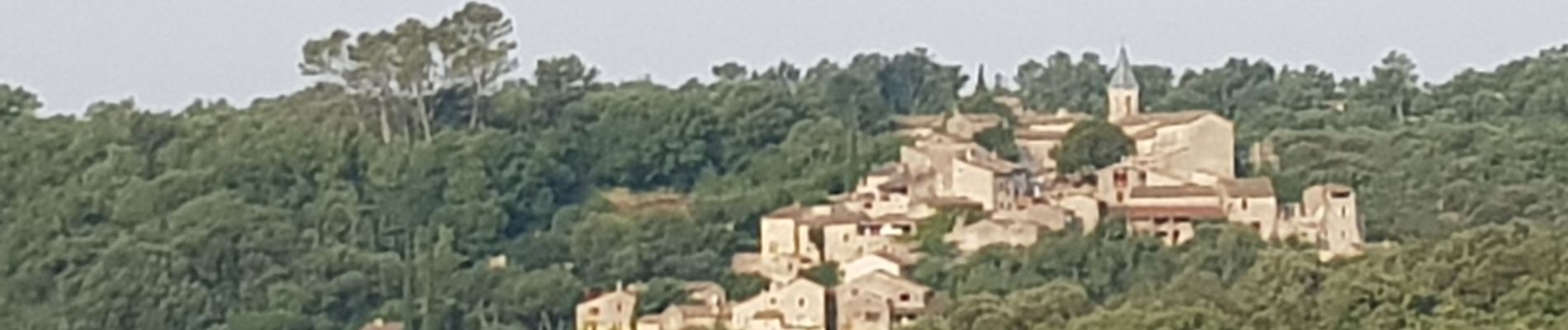
Randonnée Tharaux

poisson1103
User
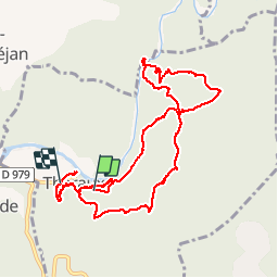

Length
11 km

Max alt
285 m

Uphill gradient
328 m
Km-Effort
15.4 km

Min alt
108 m

Downhill gradient
354 m
Boucle
No
Creation date :
2019-07-18 05:39:33.348
Updated on :
2019-07-18 09:13:25.106
3h28
Difficulty : Easy

FREE GPS app for hiking
 SityTrail
IGN / Geographical institutes
SityTrail Plus
The world is yours!
About
Trail Walking of 11 km to be discovered at Occitania, Gard, Tharaux. This trail is proposed by poisson1103.
Description
seul
grotte des fées très belle, mais accès pointu.
Photos


Positioning
Country:
France
Region :
Occitania
Department/Province :
Gard
Municipality :
Tharaux
Location:
Unknown
Start:(Dec)
Start:(UTM)
605004 ; 4899454 (31T) N.
Comments