


lac Lestio

Bernardb44
User
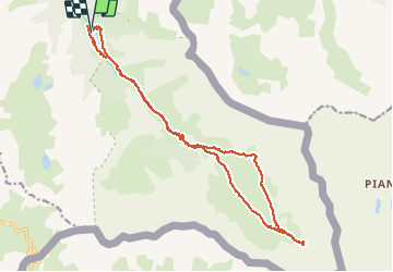

Length
20 km

Max alt
2519 m

Uphill gradient
802 m
Km-Effort
31 km

Min alt
1800 m

Downhill gradient
801 m
Boucle
Yes
Creation date :
2019-07-19 05:32:40.777
Updated on :
2019-07-19 14:45:37.246
7h56
Difficulty : Medium

FREE GPS app for hiking
 SityTrail
IGN / Geographical institutes
SityTrail Plus
The world is yours!
About
Trail Walking of 20 km to be discovered at Provence-Alpes-Côte d'Azur, Hautes-Alpes, Abriès-Ristolas. This trail is proposed by Bernardb44.
Positioning
Country:
France
Region :
Provence-Alpes-Côte d'Azur
Department/Province :
Hautes-Alpes
Municipality :
Abriès-Ristolas
Location:
Ristolas
Start:(Dec)
Start:(UTM)
341491 ; 4955484 (32T) N.
Comments