


Col de Sainte Marie Bagenelles AR

JeanPierreNancy
User
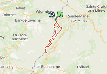

Length
16.9 km

Max alt
1056 m

Uphill gradient
574 m
Km-Effort
25 km

Min alt
698 m

Downhill gradient
574 m
Boucle
Yes
Creation date :
2019-07-23 07:10:05.333
Updated on :
2019-07-23 09:56:50.59
2h45
Difficulty : Medium

FREE GPS app for hiking
 SityTrail
IGN / Geographical institutes
SityTrail Plus
The world is yours!
About
Trail Mountain bike of 16.9 km to be discovered at Grand Est, Vosges, Wisembach. This trail is proposed by JeanPierreNancy.
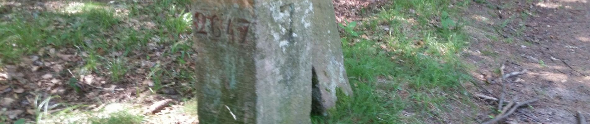
Photos


Positioning
Country:
France
Region :
Grand Est
Department/Province :
Vosges
Municipality :
Wisembach
Location:
Unknown
Start:(Dec)
Start:(UTM)
361350 ; 5345005 (32U) N.
Comments