


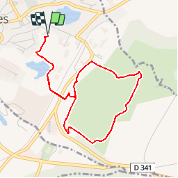

11 km | 12.8 km-effort

User


FREE GPS app for hiking
 SityTrail
IGN / Geographical institutes
SityTrail World
The world is yours!
Trail Walking of 4.2 km to be discovered at Hauts-de-France, Pas-de-Calais, Desvres. This trail is proposed by tracegps.
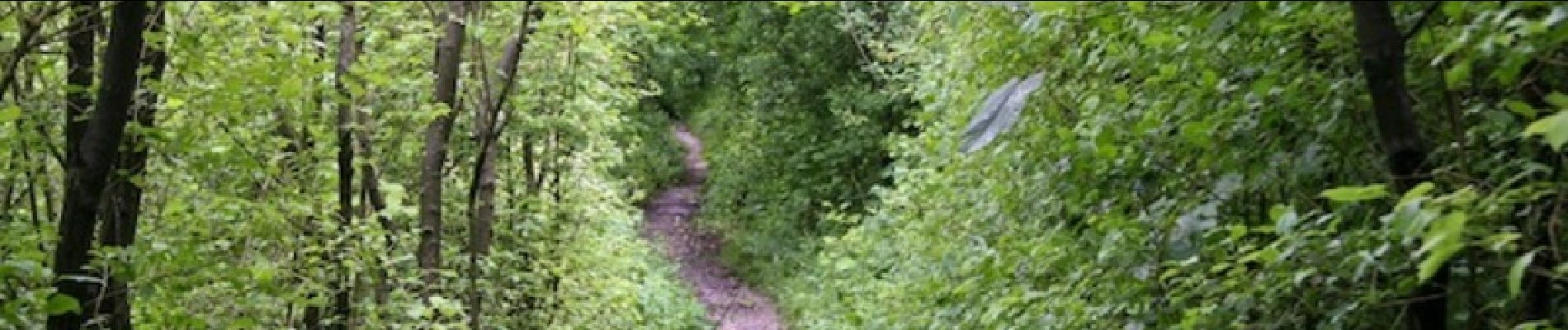
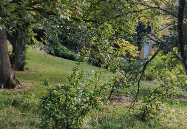
Le site est une ancienne carrière d'exploitation des craies marneuses dont on distingue encore les fosses d'extraction, il est géré par Eden 62 et le conseil général. Les pentes, qui ont été remaniées lors de la réhabilitation du site, à la fin des années 1970, sont importantes et sont lentement colonisées par la végétation. Cet ensemble, qui possède une flore remarquable, est intégré au complexe des coteaux de la Cuesta sud du Boulonnais. Les pelouses sont représentées, associés a des prairies calcicoles et des fourrés. Les zones ouvertes sont entretenues par le pâturage de moutons Boulonnais et de vaches Highlands.


Walking

Walking
Walking
Walking
Walking
Walking

On foot
Walking
Walking