


lac des montagnès-lac de laprade-lac des montagnès

Dupleix
User
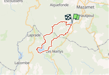

Length
24 km

Max alt
918 m

Uphill gradient
599 m
Km-Effort
32 km

Min alt
680 m

Downhill gradient
599 m
Boucle
Yes
Creation date :
2019-07-23 14:22:54.216
Updated on :
2019-07-23 14:28:03.458
6h50
Difficulty : Very difficult

FREE GPS app for hiking
 SityTrail
IGN / Geographical institutes
SityTrail Plus
The world is yours!
About
Trail Walking of 24 km to be discovered at Occitania, Tarn, Mazamet. This trail is proposed by Dupleix.
Description
boucle a cheval entre le tarn et l'aude dans les magnifiques bois de gramentès (a faire surtout a l'automne pour les couleurs) qui nous amene au lac de laprade 11 et retour
Positioning
Country:
France
Region :
Occitania
Department/Province :
Tarn
Municipality :
Mazamet
Location:
Unknown
Start:(Dec)
Start:(UTM)
447141 ; 4812368 (31T) N.
Comments