


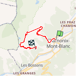
chx plan praz. brevet. bellachat. chx

jeff2
User

Length
13.3 km

Max alt
2502 m

Uphill gradient
1513 m
Km-Effort
32 km

Min alt
1048 m

Downhill gradient
1172 m
Boucle
No
Creation date :
2019-07-23 06:19:11.926
Updated on :
2019-07-23 17:04:59.345
6h37
Difficulty : Difficult

FREE GPS app for hiking
 SityTrail
IGN / Geographical institutes
SityTrail Plus
The world is yours!
About
Trail Sled dogs of 13.3 km to be discovered at Auvergne-Rhône-Alpes, Upper Savoy, Chamonix-Mont-Blanc. This trail is proposed by jeff2.
Description
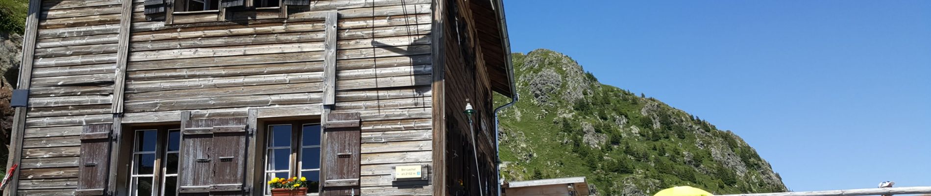
Remise en jambe
Photos


Positioning
Country:
France
Region :
Auvergne-Rhône-Alpes
Department/Province :
Upper Savoy
Municipality :
Chamonix-Mont-Blanc
Location:
Unknown
Start:(Dec)
Start:(UTM)
334846 ; 5088163 (32T) N.
Comments