


Osselle sablière

TRIMAILLE
User
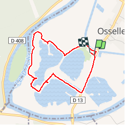

Length
3.7 km

Max alt
222 m

Uphill gradient
11 m
Km-Effort
3.8 km

Min alt
216 m

Downhill gradient
12 m
Boucle
Yes
Creation date :
2019-07-24 08:13:17.49
Updated on :
2019-07-24 09:06:57.154
53m
Difficulty : Very easy

FREE GPS app for hiking
 SityTrail
IGN / Geographical institutes
SityTrail Plus
The world is yours!
About
Trail Walking of 3.7 km to be discovered at Bourgogne-Franche-Comté, Doubs, Osselle-Routelle. This trail is proposed by TRIMAILLE.
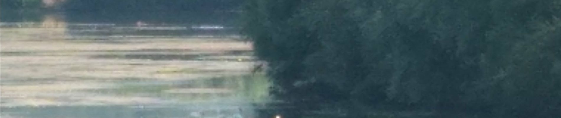
Photos


Positioning
Country:
France
Region :
Bourgogne-Franche-Comté
Department/Province :
Doubs
Municipality :
Osselle-Routelle
Location:
Unknown
Start:(Dec)
Start:(UTM)
716267 ; 5224571 (31T) N.
Comments