


nice

Axelloceane
User
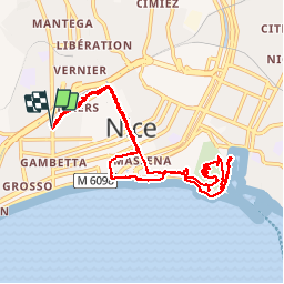

Length
10.7 km

Max alt
84 m

Uphill gradient
159 m
Km-Effort
12.8 km

Min alt
4 m

Downhill gradient
159 m
Boucle
Yes
Creation date :
2019-07-24 15:52:41.379
Updated on :
2019-10-06 17:28:49.945
3h00
Difficulty : Very easy

FREE GPS app for hiking
 SityTrail
IGN / Geographical institutes
SityTrail Plus
The world is yours!
About
Trail On foot of 10.7 km to be discovered at Provence-Alpes-Côte d'Azur, Maritime Alps, Nice. This trail is proposed by Axelloceane.
Description
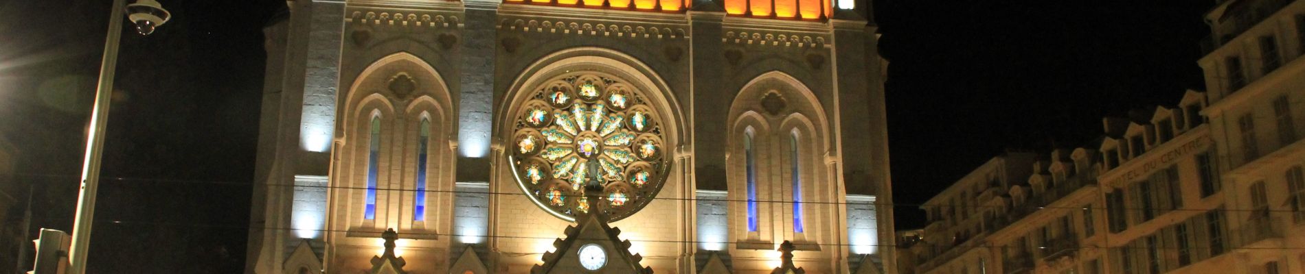
Visite de la vielle ville de Nice ,du parc du Mont Baron avec vue sur la baie des anges et du port et ballade sur la premonade des anglais.
Photos


Positioning
Country:
France
Region :
Provence-Alpes-Côte d'Azur
Department/Province :
Maritime Alps
Municipality :
Nice
Location:
Unknown
Start:(Dec)
Start:(UTM)
359486 ; 4840149 (32T) N.
Comments
