


2019-07-26_16h59m55_v-le-plateau-d-ambel

ezorzet
User

Length
617 km

Max alt
1501 m

Uphill gradient
13020 m
Km-Effort
794 km

Min alt
56 m

Downhill gradient
14013 m
Boucle
No
Creation date :
2019-07-26 14:59:56.032
Updated on :
2019-08-17 00:30:07.83
--
Difficulty : Very easy

FREE GPS app for hiking
 SityTrail
IGN / Geographical institutes
SityTrail Plus
The world is yours!
About
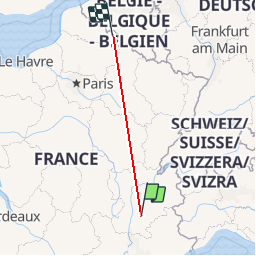
Trail On foot of 617 km to be discovered at Auvergne-Rhône-Alpes, Drôme, Omblèze. This trail is proposed by ezorzet.
Positioning
Country:
France
Region :
Auvergne-Rhône-Alpes
Department/Province :
Drôme
Municipality :
Omblèze
Location:
Unknown
Start:(Dec)
Start:(UTM)
677956 ; 4973533 (31T) N.
Comments