


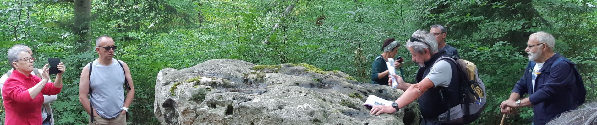
Forêt de Lancy

Specialized77
User GUIDE
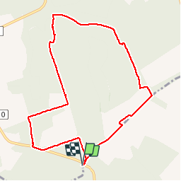

Length
9.2 km

Max alt
224 m

Uphill gradient
116 m
Km-Effort
10.8 km

Min alt
159 m

Downhill gradient
116 m
Boucle
Yes
Creation date :
2019-07-28 07:12:47.387
Updated on :
2019-07-28 11:04:57.198
2h58
Difficulty : Very easy

FREE GPS app for hiking
 SityTrail
IGN / Geographical institutes
SityTrail Plus
The world is yours!
About
Trail Walking of 9.2 km to be discovered at Bourgogne-Franche-Comté, Yonne, Courgenay. This trail is proposed by Specialized77.
Photos


Positioning
Country:
France
Region :
Bourgogne-Franche-Comté
Department/Province :
Yonne
Municipality :
Courgenay
Location:
Unknown
Start:(Dec)
Start:(UTM)
536836 ; 5349424 (31U) N.
Comments