


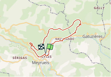
Autour de Meyrueis

frizou83
User

Length
15.4 km

Max alt
1090 m

Uphill gradient
514 m
Km-Effort
22 km

Min alt
707 m

Downhill gradient
522 m
Boucle
Yes
Creation date :
2019-07-28 17:03:08.163
Updated on :
2019-07-28 17:41:06.12
4h40
Difficulty : Very difficult

FREE GPS app for hiking
 SityTrail
IGN / Geographical institutes
SityTrail Plus
The world is yours!
About
Trail Walking of 15.4 km to be discovered at Occitania, Lozère, Meyrueis. This trail is proposed by frizou83.
Positioning
Country:
France
Region :
Occitania
Department/Province :
Lozère
Municipality :
Meyrueis
Location:
Unknown
Start:(Dec)
Start:(UTM)
534896 ; 4892478 (31T) N.
Comments