


Font d'Urle. Gagère. Fontaine du chien

ezorzet
User
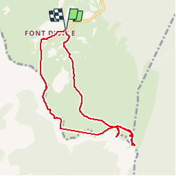

Length
8.4 km

Max alt
1643 m

Uphill gradient
367 m
Km-Effort
13.3 km

Min alt
1443 m

Downhill gradient
367 m
Boucle
Yes
Creation date :
2019-07-30 07:58:00.445
Updated on :
2019-08-17 00:28:17.233
2h52
Difficulty : Very easy

FREE GPS app for hiking
 SityTrail
IGN / Geographical institutes
SityTrail Plus
The world is yours!
About
Trail Walking of 8.4 km to be discovered at Auvergne-Rhône-Alpes, Drôme, Bouvante. This trail is proposed by ezorzet.
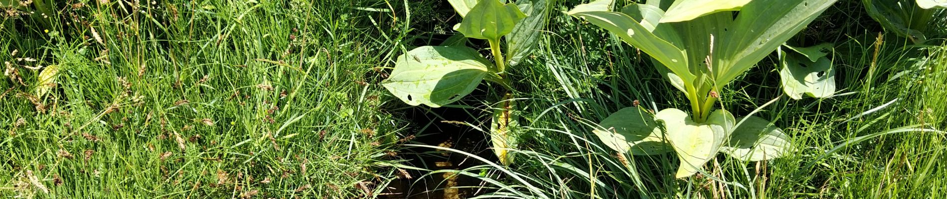
Photos


Positioning
Country:
France
Region :
Auvergne-Rhône-Alpes
Department/Province :
Drôme
Municipality :
Bouvante
Location:
Unknown
Start:(Dec)
Start:(UTM)
683639 ; 4974405 (31T) N.
Comments