


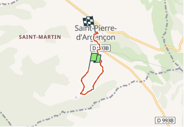
St Pierre Argencon

Maca8284
User

Length
3.7 km

Max alt
819 m

Uphill gradient
74 m
Km-Effort
4.7 km

Min alt
749 m

Downhill gradient
69 m
Boucle
No
Creation date :
2014-12-10 00:00:00.0
Updated on :
2014-12-10 00:00:00.0
1h29
Difficulty : Easy

FREE GPS app for hiking
 SityTrail
IGN / Geographical institutes
SityTrail Plus
The world is yours!
About
Trail Walking of 3.7 km to be discovered at Provence-Alpes-Côte d'Azur, Hautes-Alpes, Saint-Pierre-d'Argençon. This trail is proposed by Maca8284.
Description
A travers champs
Positioning
Country:
France
Region :
Provence-Alpes-Côte d'Azur
Department/Province :
Hautes-Alpes
Municipality :
Saint-Pierre-d'Argençon
Location:
Unknown
Start:(Dec)
Start:(UTM)
714259 ; 4932174 (31T) N.
Comments