


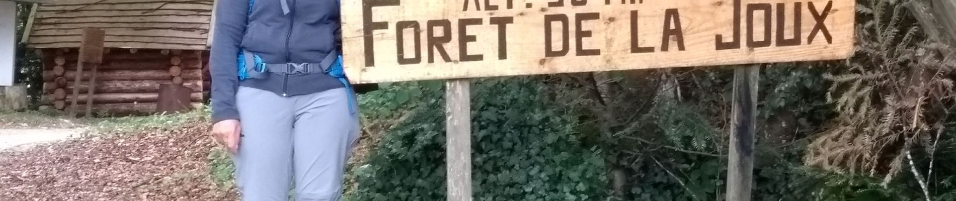
Étape 4 : Fessevillers à Bief d'Etoz

annefrance70
User
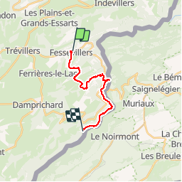

Length
15 km

Max alt
983 m

Uphill gradient
401 m
Km-Effort
21 km

Min alt
493 m

Downhill gradient
699 m
Boucle
No
Creation date :
2019-07-31 08:31:12.108
Updated on :
2019-07-31 16:55:55.953
5h14
Difficulty : Medium

FREE GPS app for hiking
 SityTrail
IGN / Geographical institutes
SityTrail Plus
The world is yours!
About
Trail Walking of 15 km to be discovered at Bourgogne-Franche-Comté, Doubs, Fessevillers. This trail is proposed by annefrance70.
Photos


Positioning
Country:
France
Region :
Bourgogne-Franche-Comté
Department/Province :
Doubs
Municipality :
Fessevillers
Location:
Unknown
Start:(Dec)
Start:(UTM)
342409 ; 5238461 (32T) N.
Comments