


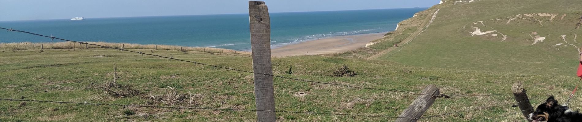
CAP BLANC NEZ

aout60
User

Length
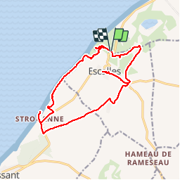
16.2 km
Boucle
Yes
Creation date :
2019-08-01 10:01:04.814
Updated on :
2019-08-01 16:40:21.288
5h09
Difficulty : Easy

FREE GPS app for hiking
 SityTrail
IGN / Geographical institutes
SityTrail Plus
The world is yours!
About
Trail Walking of 16.2 km to be discovered at Hauts-de-France, Pas-de-Calais, Sangatte. This trail is proposed by aout60.
Photos

Positioning
Country:
France
Region :
Hauts-de-France
Department/Province :
Pas-de-Calais
Municipality :
Sangatte
Location:
Unknown
Start:(Dec)
Start:(UTM)
409821 ; 5642167 (31U) N.
Comments