


Serre de Montué

ezorzet
User
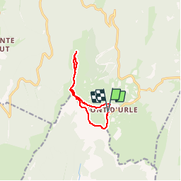

Length
8.8 km

Max alt
1697 m

Uphill gradient
395 m
Km-Effort
14.1 km

Min alt
1444 m

Downhill gradient
395 m
Boucle
Yes
Creation date :
2019-08-02 08:02:21.372
Updated on :
2019-08-02 15:04:53.914
3h32
Difficulty : Medium

FREE GPS app for hiking
 SityTrail
IGN / Geographical institutes
SityTrail Plus
The world is yours!
About
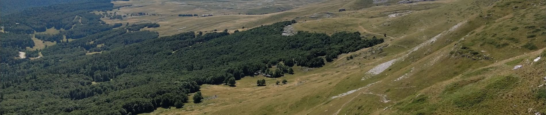
Trail Walking of 8.8 km to be discovered at Auvergne-Rhône-Alpes, Drôme, Bouvante. This trail is proposed by ezorzet.
Photos


Positioning
Country:
France
Region :
Auvergne-Rhône-Alpes
Department/Province :
Drôme
Municipality :
Bouvante
Location:
Unknown
Start:(Dec)
Start:(UTM)
683195 ; 4974278 (31T) N.
Comments