


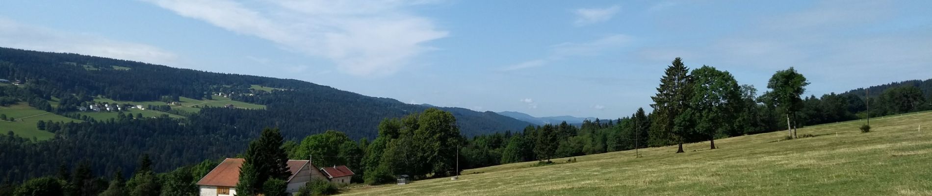
Étape 6 : Fournet Blancheroche à Villers-le-Lac

annefrance70
User
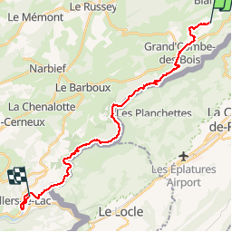

Length
25 km

Max alt
997 m

Uphill gradient
623 m
Km-Effort
34 km

Min alt
636 m

Downhill gradient
771 m
Boucle
No
Creation date :
2019-08-02 07:19:15.733
Updated on :
2019-08-02 16:31:43.549
7h24
Difficulty : Medium

FREE GPS app for hiking
 SityTrail
IGN / Geographical institutes
SityTrail Plus
The world is yours!
About
Trail Walking of 25 km to be discovered at Bourgogne-Franche-Comté, Doubs, Fournet-Blancheroche. This trail is proposed by annefrance70.
Photos


Positioning
Country:
France
Region :
Bourgogne-Franche-Comté
Department/Province :
Doubs
Municipality :
Fournet-Blancheroche
Location:
Unknown
Start:(Dec)
Start:(UTM)
334222 ; 5224539 (32T) N.
Comments