


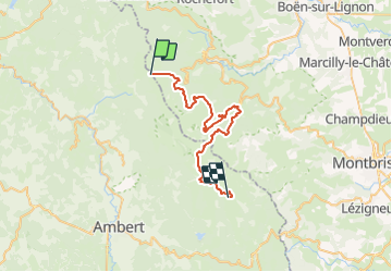


14.5 km | 23 km-effort


User


FREE GPS app for hiking
 SityTrail
IGN / Geographical institutes
SityTrail World
The world is yours!
Trail Horseback riding of 38 km to be discovered at Auvergne-Rhône-Alpes, Puy-de-Dôme, Saint-Pierre-la-Bourlhonne. This trail is proposed by chevaltaiga.
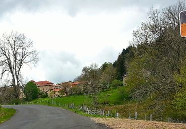
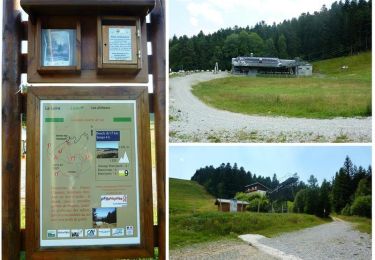
Les supeyres /le beal le plus long itinéraire
Parcouru en 2019 super itinéraire !
Picnic possible à la loge de la morte top !
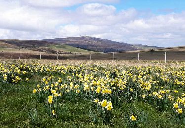
Arrêt pour se désaltérer à la jasserie de garnier
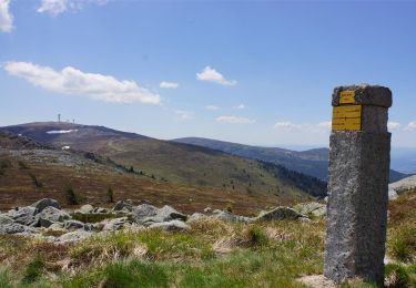
Possible raccourci(pas encore emprunté) en cas de mauvais temps ,ou éventuelle rallonge jusqu’au Jas du mas
On foot
Walking
Walking

Walking
Running

Walking
Walking
Walking

On foot