


03/08/2019 Rando Mont Valier

chrisbal
User
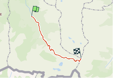

Length
10.2 km

Max alt
2809 m

Uphill gradient
1867 m
Km-Effort
29 km

Min alt
938 m

Downhill gradient
29 m
Boucle
No
Creation date :
2019-08-03 07:58:10.423
Updated on :
2020-06-15 12:04:50.766
6h21
Difficulty : Difficult

FREE GPS app for hiking
 SityTrail
IGN / Geographical institutes
SityTrail Plus
The world is yours!
About
Trail Walking of 10.2 km to be discovered at Occitania, Ariège, Bordes-Uchentein. This trail is proposed by chrisbal.
Positioning
Country:
France
Region :
Occitania
Department/Province :
Ariège
Municipality :
Bordes-Uchentein
Location:
Les Bordes-sur-Lez
Start:(Dec)
Start:(UTM)
339079 ; 4744036 (31T) N.
Comments