


depart belleherbe -combe aux moines

gerardmicheline
User
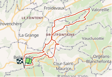

Length
21 km

Max alt
816 m

Uphill gradient
465 m
Km-Effort
27 km

Min alt
652 m

Downhill gradient
462 m
Boucle
Yes
Creation date :
2019-08-04 07:10:28.378
Updated on :
2019-08-04 07:10:28.378

FREE GPS app for hiking
 SityTrail
IGN / Geographical institutes
SityTrail Plus
The world is yours!
About
Trail of 21 km to be discovered at Bourgogne-Franche-Comté, Doubs, Belleherbe. This trail is proposed by gerardmicheline.
Positioning
Country:
France
Region :
Bourgogne-Franche-Comté
Department/Province :
Doubs
Municipality :
Belleherbe
Location:
Unknown
Start:(Dec)
Start:(UTM)
322907 ; 5236294 (32T) N.
Comments