


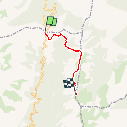

15 km | 31 km-effort


User


FREE GPS app for hiking
 SityTrail
IGN / Geographical institutes
SityTrail World
The world is yours!
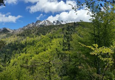
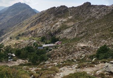
Trail Walking of 13.6 km to be discovered at Corsica, Haute-Corse, Ghisoni. This trail is proposed by Orsu Vincenti.
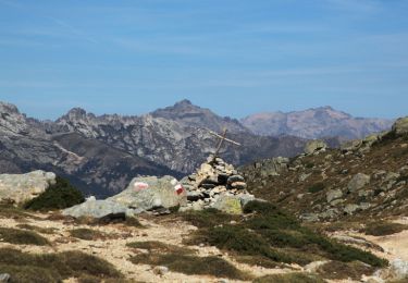
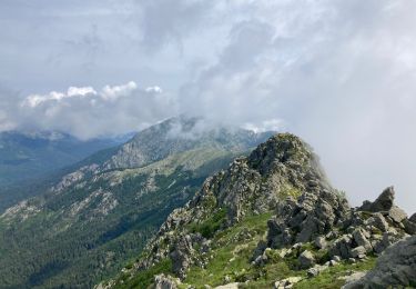
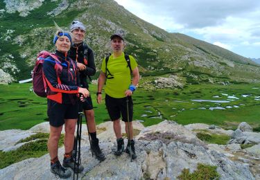
randonnée du col de verde vers refuge de Prati et la Punta della Capella
retour idem


Walking
Walking
Walking

Via ferrata
Walking
Walking
Walking
Walking
Walking