


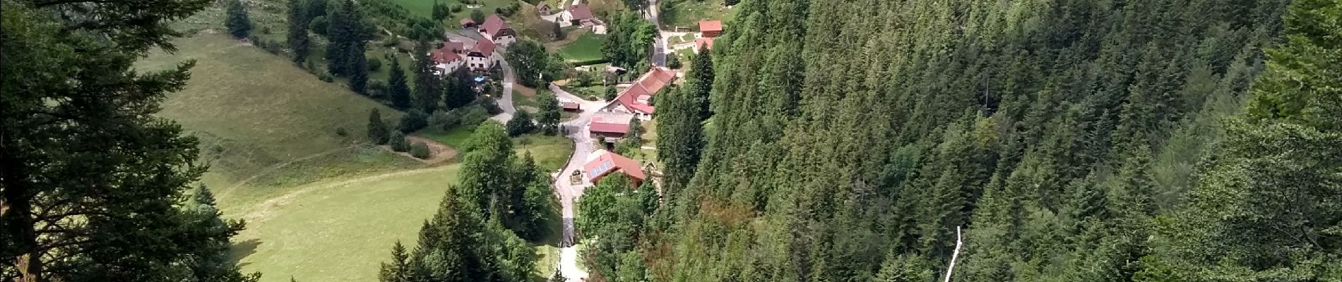
Étape 7 : Villers-le-Lac à Vieux Chateleu

annefrance70
User
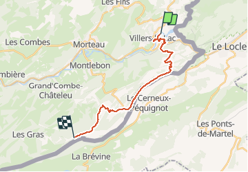

Length
18.6 km

Max alt
1291 m

Uphill gradient
780 m
Km-Effort
28 km

Min alt
751 m

Downhill gradient
351 m
Boucle
No
Creation date :
2019-08-03 07:35:05.785
Updated on :
2019-08-17 16:54:03.661
6h23
Difficulty : Medium

FREE GPS app for hiking
 SityTrail
IGN / Geographical institutes
SityTrail Plus
The world is yours!
About
Trail Walking of 18.6 km to be discovered at Bourgogne-Franche-Comté, Doubs, Villers-le-Lac. This trail is proposed by annefrance70.
Photos


Positioning
Country:
France
Region :
Bourgogne-Franche-Comté
Department/Province :
Doubs
Municipality :
Villers-le-Lac
Location:
Unknown
Start:(Dec)
Start:(UTM)
323610 ; 5214858 (32T) N.
Comments