


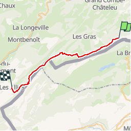
Étape 8 : Vieux Chateleu à les Alliés

annefrance70
User

Length
16.1 km

Max alt
1224 m

Uphill gradient
394 m
Km-Effort
22 km

Min alt
933 m

Downhill gradient
607 m
Boucle
No
Creation date :
2019-08-04 07:27:04.203
Updated on :
2019-08-04 19:46:48.543
5h00
Difficulty : Easy

FREE GPS app for hiking
 SityTrail
IGN / Geographical institutes
SityTrail Plus
The world is yours!
About
Trail Walking of 16.1 km to be discovered at Bourgogne-Franche-Comté, Doubs, Grand'Combe-Châteleu. This trail is proposed by annefrance70.
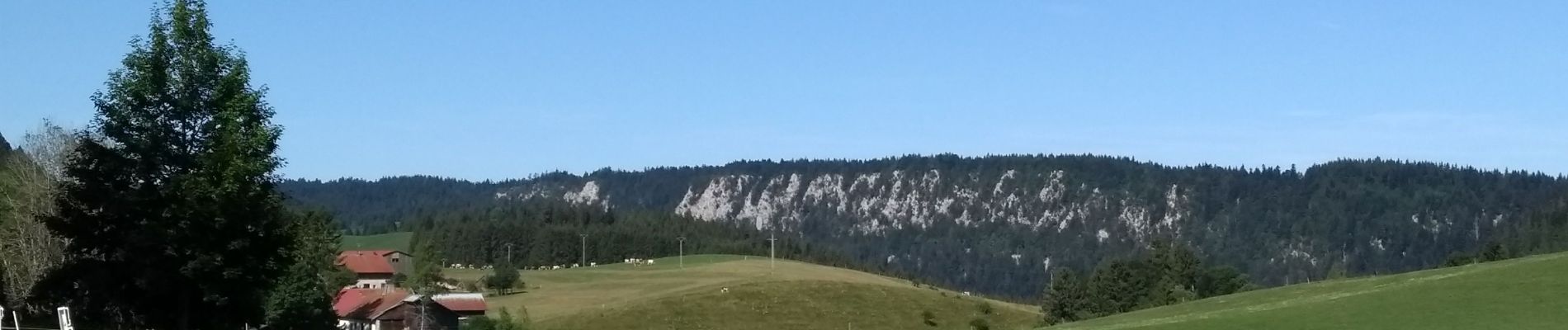
Photos

Positioning
Country:
France
Region :
Bourgogne-Franche-Comté
Department/Province :
Doubs
Municipality :
Grand'Combe-Châteleu
Location:
Unknown
Start:(Dec)
Start:(UTM)
316809 ; 5207233 (32T) N.
Comments