


Bitche - étang Hasselfurth

jcguew
User
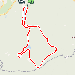

Length
8.7 km

Max alt
429 m

Uphill gradient
173 m
Km-Effort
11.1 km

Min alt
294 m

Downhill gradient
181 m
Boucle
Yes
Creation date :
2019-08-04 17:07:30.875
Updated on :
2019-08-06 13:52:50.97
2h26
Difficulty : Easy

FREE GPS app for hiking
 SityTrail
IGN / Geographical institutes
SityTrail Plus
The world is yours!
About
Trail Walking of 8.7 km to be discovered at Grand Est, Moselle, Bitche. This trail is proposed by jcguew.
Description
randonnée alentour de Bitche possibilité en 2,4 et 5km
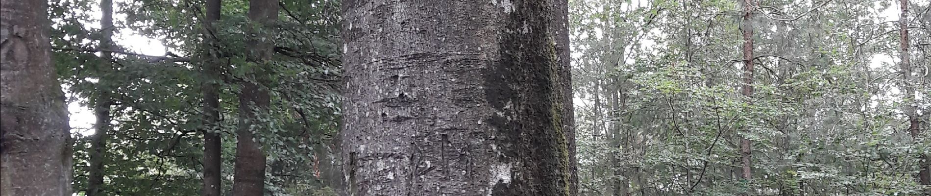
Photos


Positioning
Country:
France
Region :
Grand Est
Department/Province :
Moselle
Municipality :
Bitche
Location:
Unknown
Start:(Dec)
Start:(UTM)
386182 ; 5433081 (32U) N.
Comments