


Cilaos Bonnet de prêtre

YCDBSOYA
User
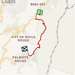

Length
5.6 km

Max alt
1447 m

Uphill gradient
278 m
Km-Effort
10.2 km

Min alt
979 m

Downhill gradient
545 m
Boucle
No
Creation date :
2019-08-08 05:47:44.0
Updated on :
2019-08-08 09:21:40.814
3h30
Difficulty : Very difficult

FREE GPS app for hiking
 SityTrail
IGN / Geographical institutes
SityTrail Plus
The world is yours!
About
Trail Walking of 5.6 km to be discovered at Réunion, Unknown, Cilaos. This trail is proposed by YCDBSOYA.
Description
Le tour du Bonnet de prêtre jusqu’à Palmiste Rouge
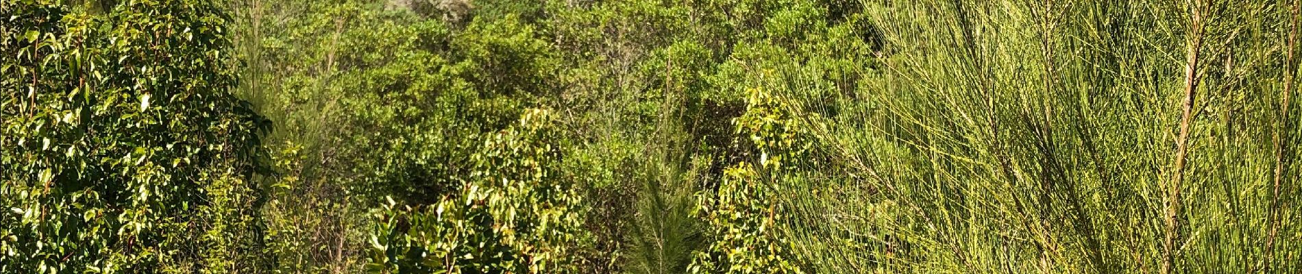
Photos


Positioning
Country:
France
Region :
Réunion
Department/Province :
Unknown
Municipality :
Cilaos
Location:
Unknown
Start:(Dec)
Start:(UTM)
343070 ; 7660974 (40K) S.
Comments