


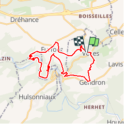


14.3 km | 19 km-effort

User GUIDE


FREE GPS app for hiking
 SityTrail
IGN / Geographical institutes
SityTrail World
The world is yours!
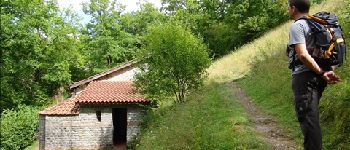
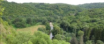
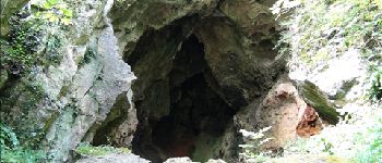
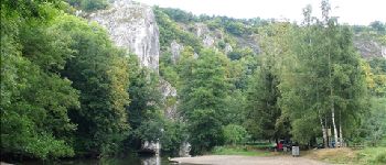
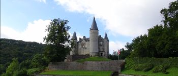
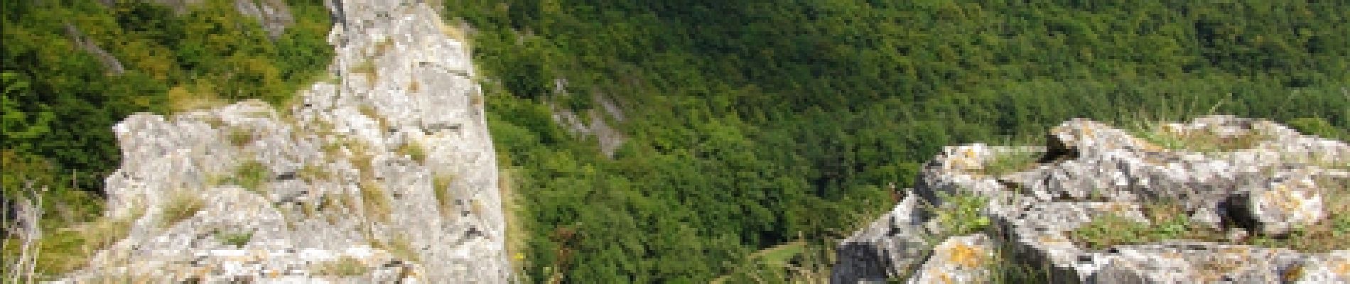
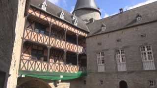
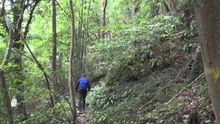
Trail Walking of 14 km to be discovered at Wallonia, Namur, Houyet. This trail is proposed by Desrumaux.
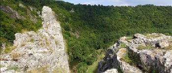
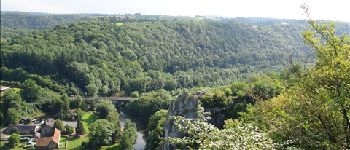
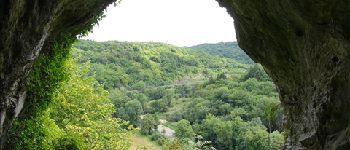
Le parc de Furfooz, non loin de Dinant, vous invite à la découverte d'un patrimoine archéologique, naturel et géologique.


Walking

Walking

Walking

Walking

Walking

Walking

Walking

Walking

Walking