


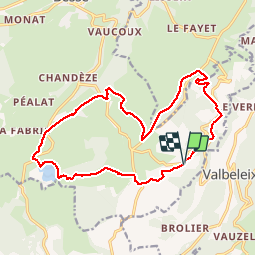

11.9 km | 16.4 km-effort

User


FREE GPS app for hiking
 SityTrail
IGN / Geographical institutes
SityTrail World
The world is yours!
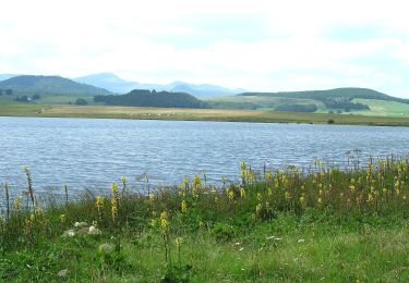
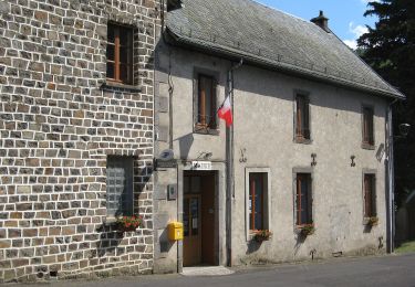
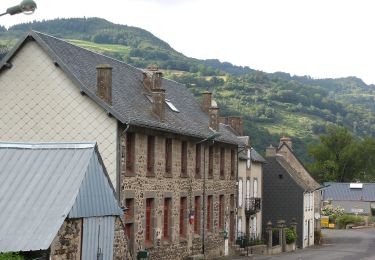
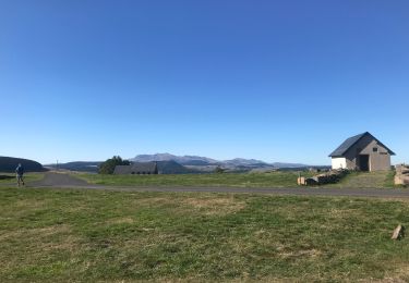
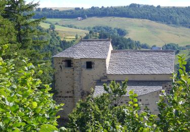
Trail Walking of 17.4 km to be discovered at Auvergne-Rhône-Alpes, Puy-de-Dôme, Besse-et-Saint-Anastaise. This trail is proposed by force.
Chamina Sancy Rando 22


Walking

Mountain bike

Walking
Walking
On foot
On foot
On foot
Walking
On foot