


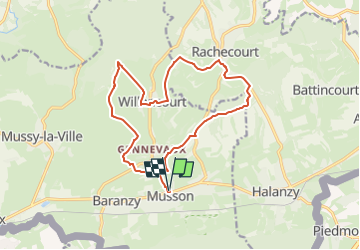


7.6 km | 9.8 km-effort

Randonnez sur et autour des GR ® wallons (Sentiers de Grande Randonnée). PRO


FREE GPS app for hiking
 SityTrail
IGN / Geographical institutes
SityTrail World
The world is yours!
Trail Walking of 14.7 km to be discovered at Wallonia, Luxembourg, Musson. This trail is proposed by GR Rando.
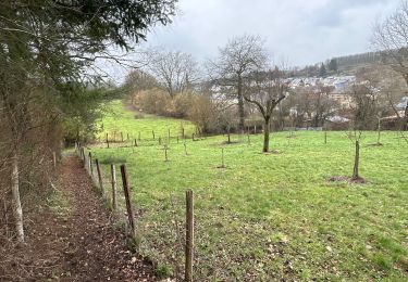
Lacuisine – Martué – Laiche – belvédère de Pinco – Lacuisine
Cartographie et documentation :
Cartes IGN au 1 : 20 000, 67/3-4 « Herbeumont – Suxy » et 67/7-8 « Florenville – Chiny ».
Carte IGN de promenades « Chiny – Florenville – Herbeumont », au 1 : 25 000, éditée par la Maison du Tourisme du Pays de la Semois entre Ardenne et Gaume.
Topo-guide du GR 16 « Sentier de la Semois ».
Où se désaltérer et se restaurer :
Aucune possibilité en dehors de Florenville toute proche (3 km).


Walking
Walking
Mountain bike

On foot

On foot
Walking

Walking

Walking
Walking
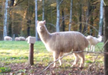
Superbe !