


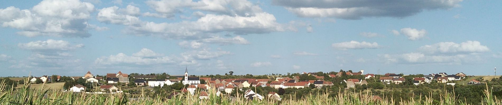
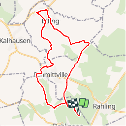
Dehlingen Etting Schmittviller

helmut68
User


3h54
Difficulty : Easy

FREE GPS app for hiking
 SityTrail
IGN / Geographical institutes
SityTrail Plus
The world is yours!
About
Trail Walking of 17.5 km to be discovered at Grand Est, Bas-Rhin, Dehlingen. This trail is proposed by helmut68.
Description
Départ site archéologique de Dehlingen ,monter le Rebberg direction château d'eau de Schmittviller . A ce niveau traverser la D 83 et continuer tout droit direction Mohrenhof ,avant ce dernier tourner sur votre gauche direction Etting ( buncker ) .Il y a deux chemins de possible pour arriver à Etting.
Pour le retour utiliser le chemin qui mène à Schmittviller, puis Dehlingen.
Rando très agréable qui permet de voir sur les hauteurs les Vosges du Nord, les villages alsaciens et lorrains ,ainsi que l'Allemagne par temps clair...
Photos


Positioning
Comments