


pic du tallion

mthomas30
User
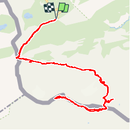

Length
16.3 km

Max alt
3131 m

Uphill gradient
1180 m
Km-Effort
32 km

Min alt
2198 m

Downhill gradient
1177 m
Boucle
Yes
Creation date :
2019-08-14 05:58:52.055
Updated on :
2019-08-14 20:40:05.594
8h10
Difficulty : Difficult

FREE GPS app for hiking
 SityTrail
IGN / Geographical institutes
SityTrail Plus
The world is yours!
About
Trail Walking of 16.3 km to be discovered at Occitania, Hautespyrenees, Gavarnie-Gèdre. This trail is proposed by mthomas30.
Description
col de tente, brèche de Roland.
AR, 8h.
Positioning
Country:
France
Region :
Occitania
Department/Province :
Hautespyrenees
Municipality :
Gavarnie-Gèdre
Location:
Gavarnie
Start:(Dec)
Start:(UTM)
741488 ; 4733215 (30T) N.
Comments