


Montlebon Suisse La Brévine

i20
User
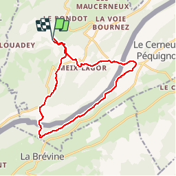

Length
15.2 km

Max alt
1168 m

Uphill gradient
528 m
Km-Effort
22 km

Min alt
909 m

Downhill gradient
529 m
Boucle
Yes
Creation date :
2019-08-17 11:04:37.959
Updated on :
2019-08-17 14:32:39.119
3h19
Difficulty : Medium

FREE GPS app for hiking
 SityTrail
IGN / Geographical institutes
SityTrail Plus
The world is yours!
About
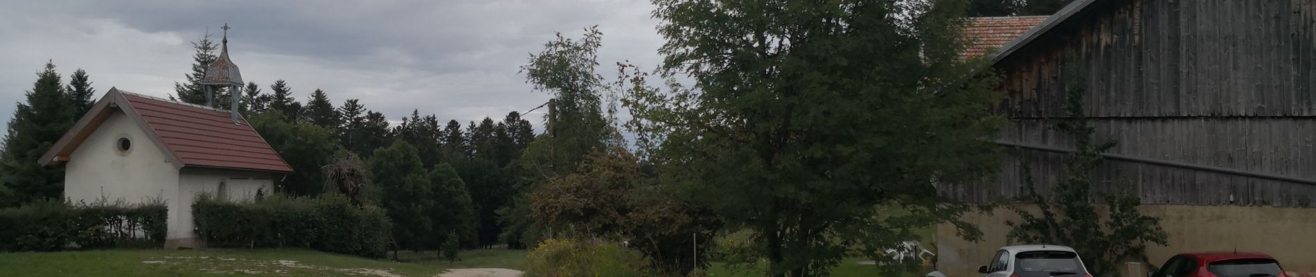
Trail Walking of 15.2 km to be discovered at Bourgogne-Franche-Comté, Doubs. This trail is proposed by i20.
Description
En Vadrouille 2016
Photos


Positioning
Country:
France
Region :
Bourgogne-Franche-Comté
Department/Province :
Doubs
Municipality :
MONTLEBON
Location:
Unknown
Start:(Dec)
Start:(UTM)
318549 ; 5210125 (32T) N.
Comments